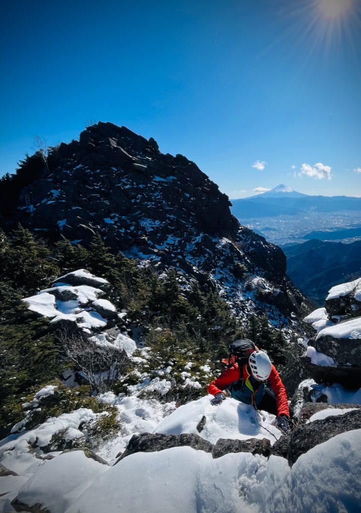
Mt Kentoku (2,031m) in Yamanashi prefecture is commonly billed as a ‘technical hike’ – this is true, but a bit of an understatement; it’s much more exciting than that makes it sound and surprisingly quiet…
(a note: this route is bigger and harder than it looks – the mapped route shows 10.6km, 1200m elevation and 4h20 estimated time. We did 15.4km, 1300m elevation and it took 8h35).
The route starts from the carpark in Mitomitoguwa. Head out of the carpark, northwest through the village along the Tokuwa river for about 500m until you hit the trailhead which takes you back on yourself and uphill through nice forest paths for about 3km until you come to Ogidaira – an open grassy area to the south-east of Mt Kentoku.
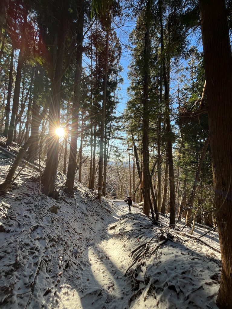
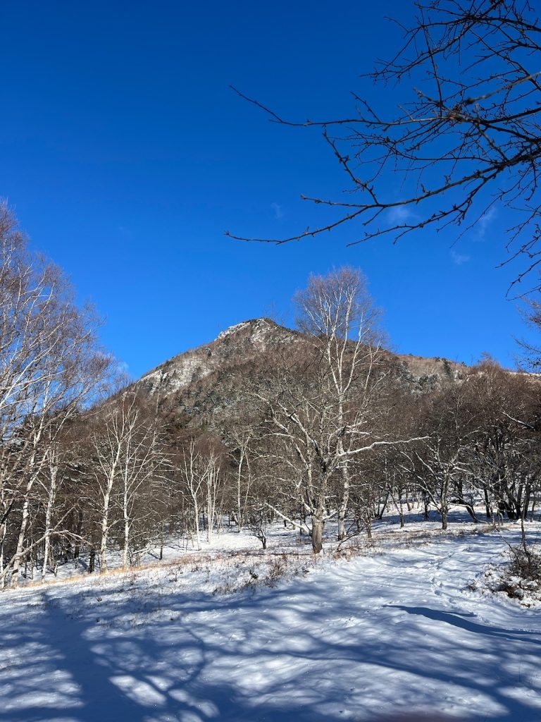
From Ogidaira, head up onto the shoulder and follow the ridge northwest towards the summit – this is where it gets interesting. After a few minutes, the ridge changes from forest paths to rock scrambling, with a couple of chains and ladders starting to appear
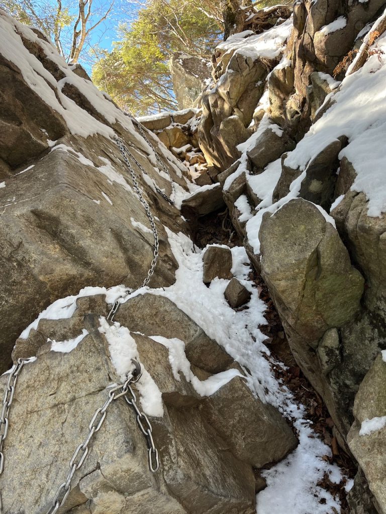
As you go higher, the route turns into more of a rock scramble than a hike with some pretty steep sections, decent exposure and several places where the chains and ladders are very welcome. As you’re climbing up, you’ll get a great view of Mt Fuji if the weather is clear. It’s not really high enough to get serious snow, but as you can see from these pictures on January 3rd, there can be a slippery dusting of snow; in a couple of spots a slip would be bad news.
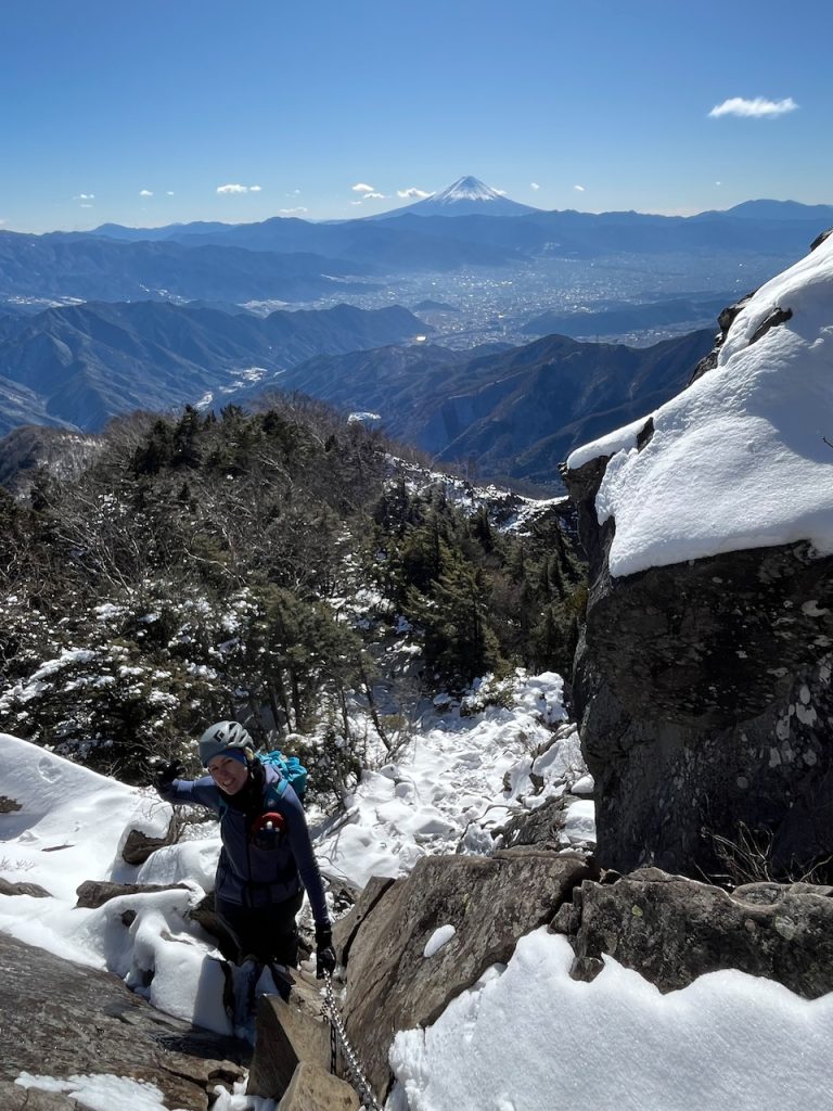
The most exciting section is just before the summit – a 20m or so climb up a rocky corner. It has chains in place and is reasonably well featured, but it’s much harder than anything I would normally expect on a hiking route and a fall would be serious. You can climb the crack with the chains, scramble up the rock on the left and traverse over the narrow ledge about halfway up or, if you don’t like the look of it at all, there’s a trail to the right.
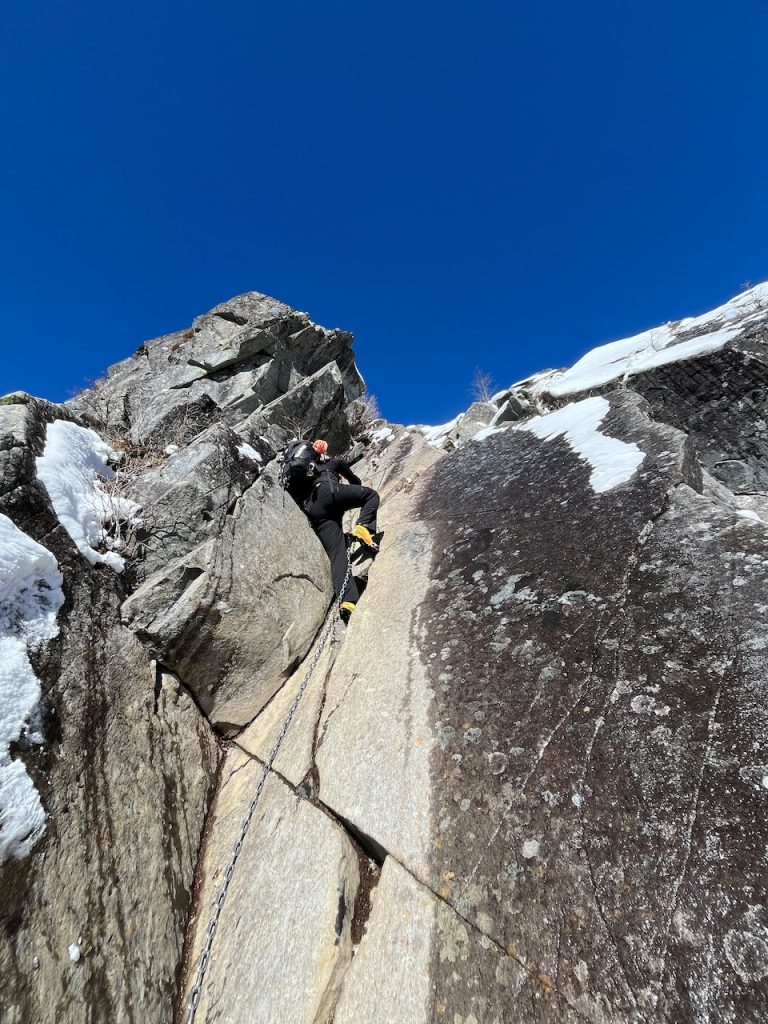
This pops you pretty much onto the summit. The challenges aren’t quite over yet – the route continues along the summit ridge for 300-400m, including a couple of chain and ladder down climbs; these are on north-facing edges, so they can get very cold in winter, and at least one has an awkward chain>step>ladder move. Take gloves, or you might find your hands stuck to some mountain metalwork…
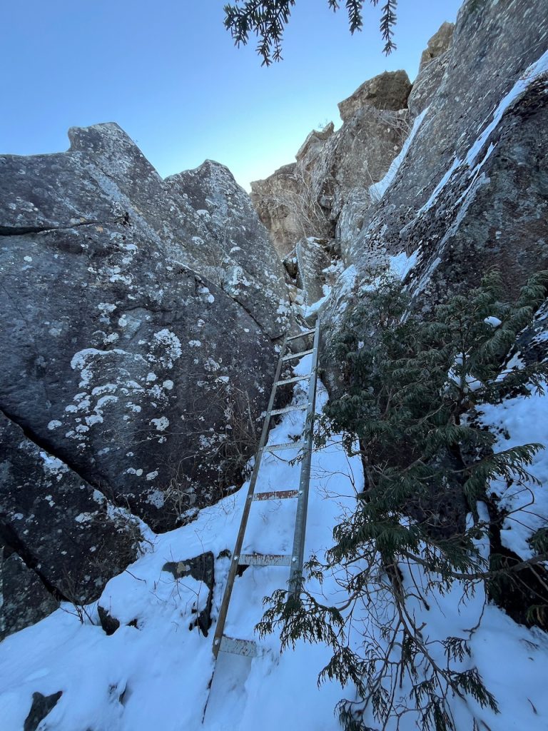
Finally, you’ll come to a little shoulder and there’s an easy to miss trail off to the left that takes you south-west and back down through the forest to Ogidaiwa. It’s not technical, but it’s steep and slippery in places. Once you get back to Ogidaira, you’ll join up with the original path and head south down the forest paths and back to the car.
It’s a good day out – much more significant than I’d expect for a ‘short technical hike’ but a fun route with fantastic views and a couple of adventurous moments. Well worth it.